See it work on any address.
Type an address. It reads the site, checks the zoning, models a massing option, draws the set and lays out the board, the way it would for a brief in your studio.
Map data © OpenStreetMap contributors.
Type an address. It reads the site, checks the zoning, models a massing option, draws the set and lays out the board, the way it would for a brief in your studio.
An example brief
To Pyramid
“There's a library competition for the lot on 9th Avenue. Check what zoning allows, give me a massing option and boards I can show the client on Friday.”
Step 1 of 5
Step 2 of 5
Step 3 of 5
Step 4 of 5
Step 5 of 5
Friday
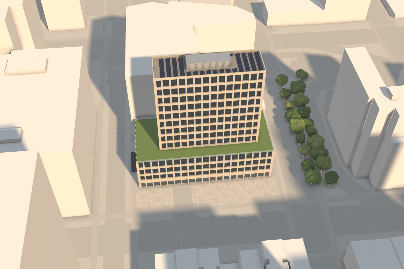
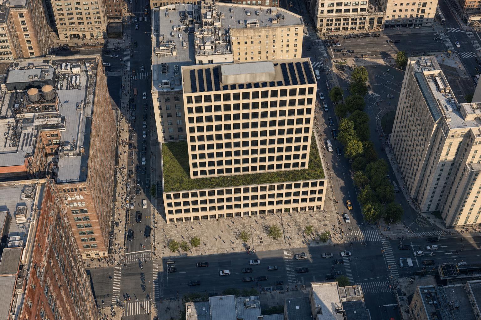
Drawn for 9th Avenue. Drag across the view to compare the model with the photograph made from it.
Model
Photograph
Taking the drawing set into account
Drawn from the same model: site plan, a plan of every level, elevations, a section, the code analysis and an outline specification.
Each sheet is checked against the zoning, the code and the other sheets before anyone sees it.
We set it up in your studio on one live project, with the people who run it, and stay with you for thirty days.
Book a call